Detailed Municipal Spatial Plan for the Development Area EUP BB-31 Kampa Danica in Bohinjska Bistrica
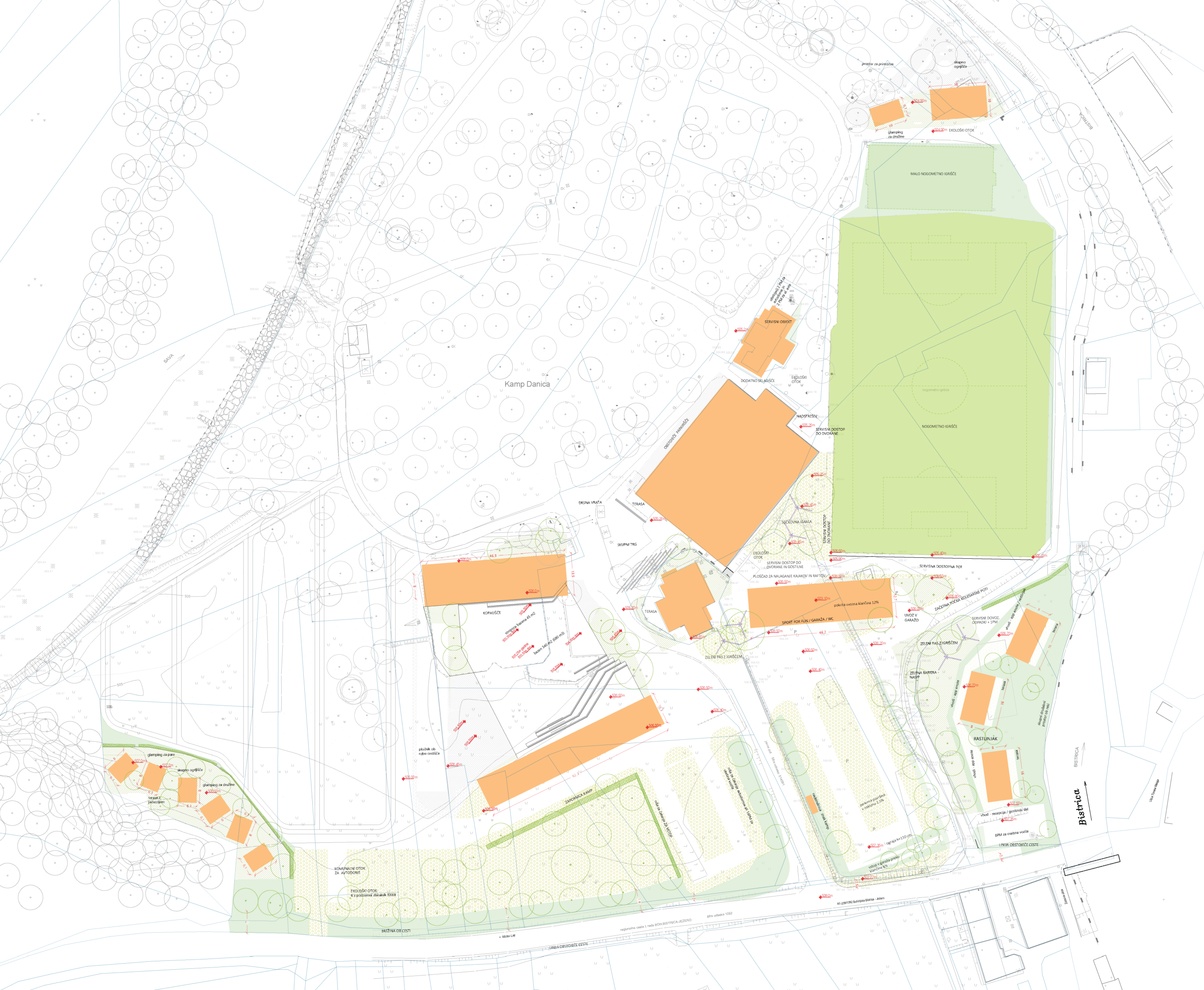
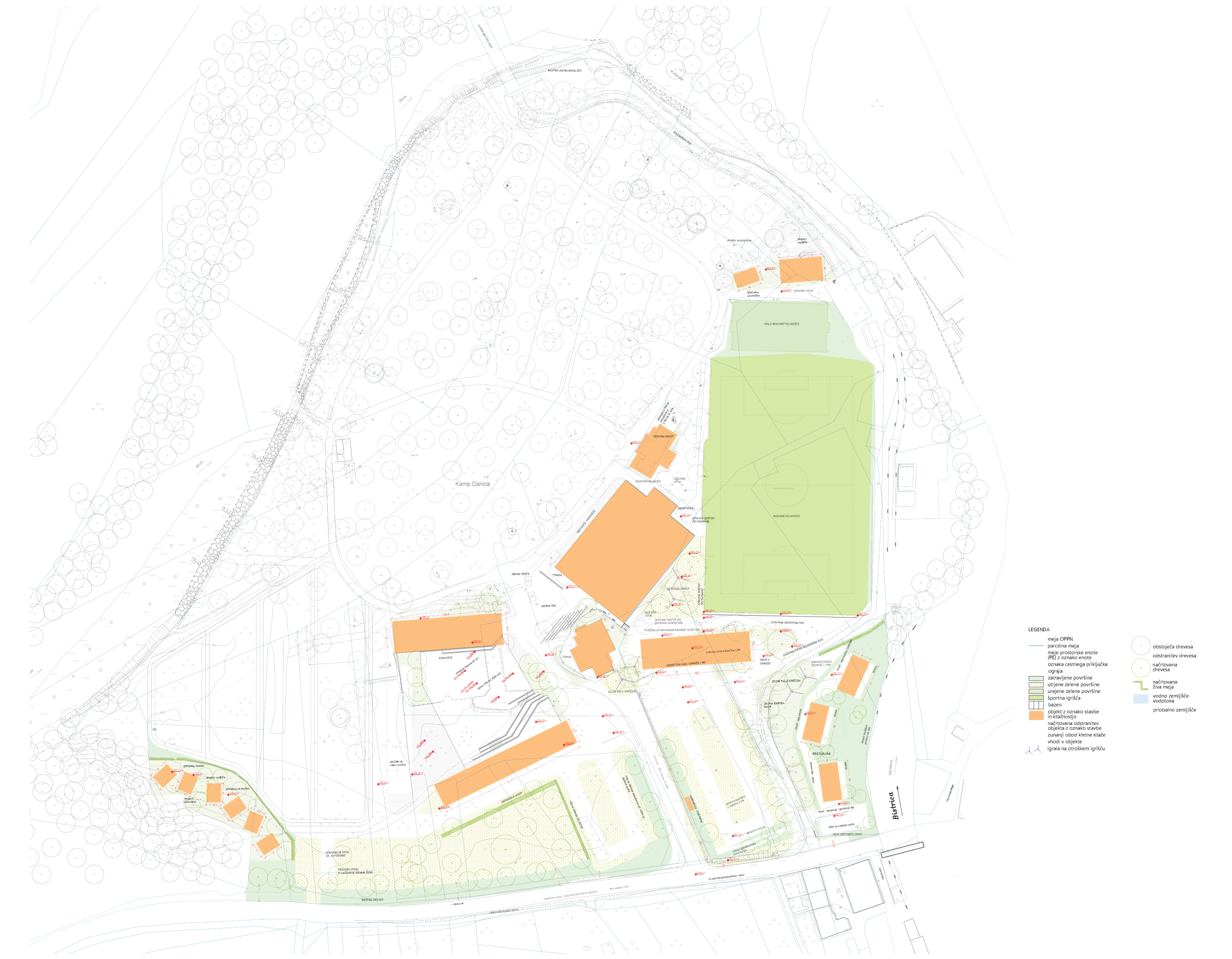
The OPPN area is located in the western part of Bohinjska Bistrica between the Bistrica stream, the Sava Bohinjka river, and the regional road on the Bohinjska Bistrica – Jezero section, and more precisely represents the southeastern part of the Danica campsite.
The Detailed Municipal Spatial Plan (OPPN) for the Kampa Danica area in Bohinjska Bistrica has been prepared with the aim of comprehensively renovating the area to enable the long-term development of this space. The purpose of the OPPN is primarily to improve municipal and transport infrastructure, provide adequate parking areas, enable quality distribution of activities, and functionally reorganize existing facilities, thereby raising the level of tourist services that would allow the campsite to operate throughout the entire calendar year.
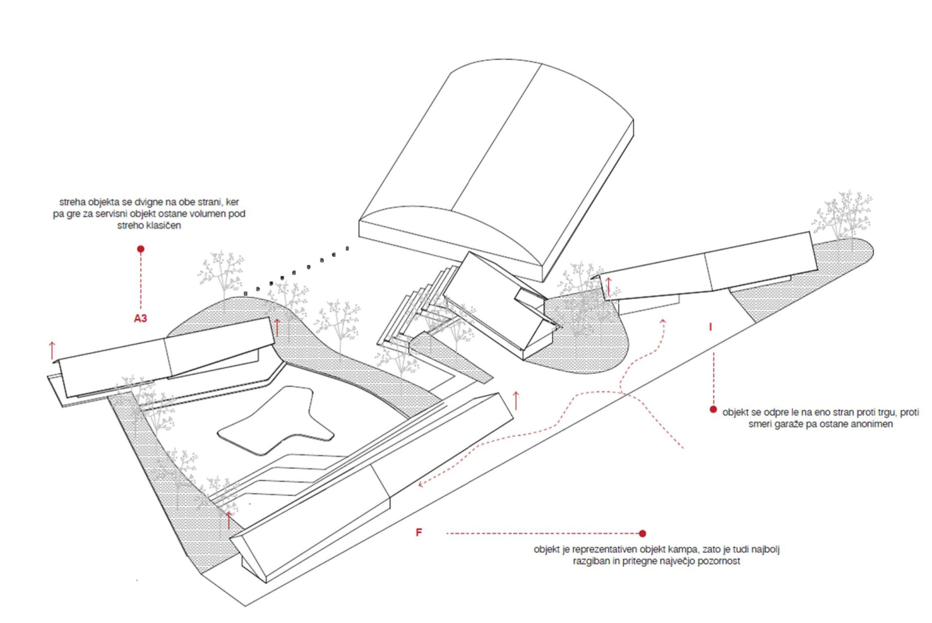
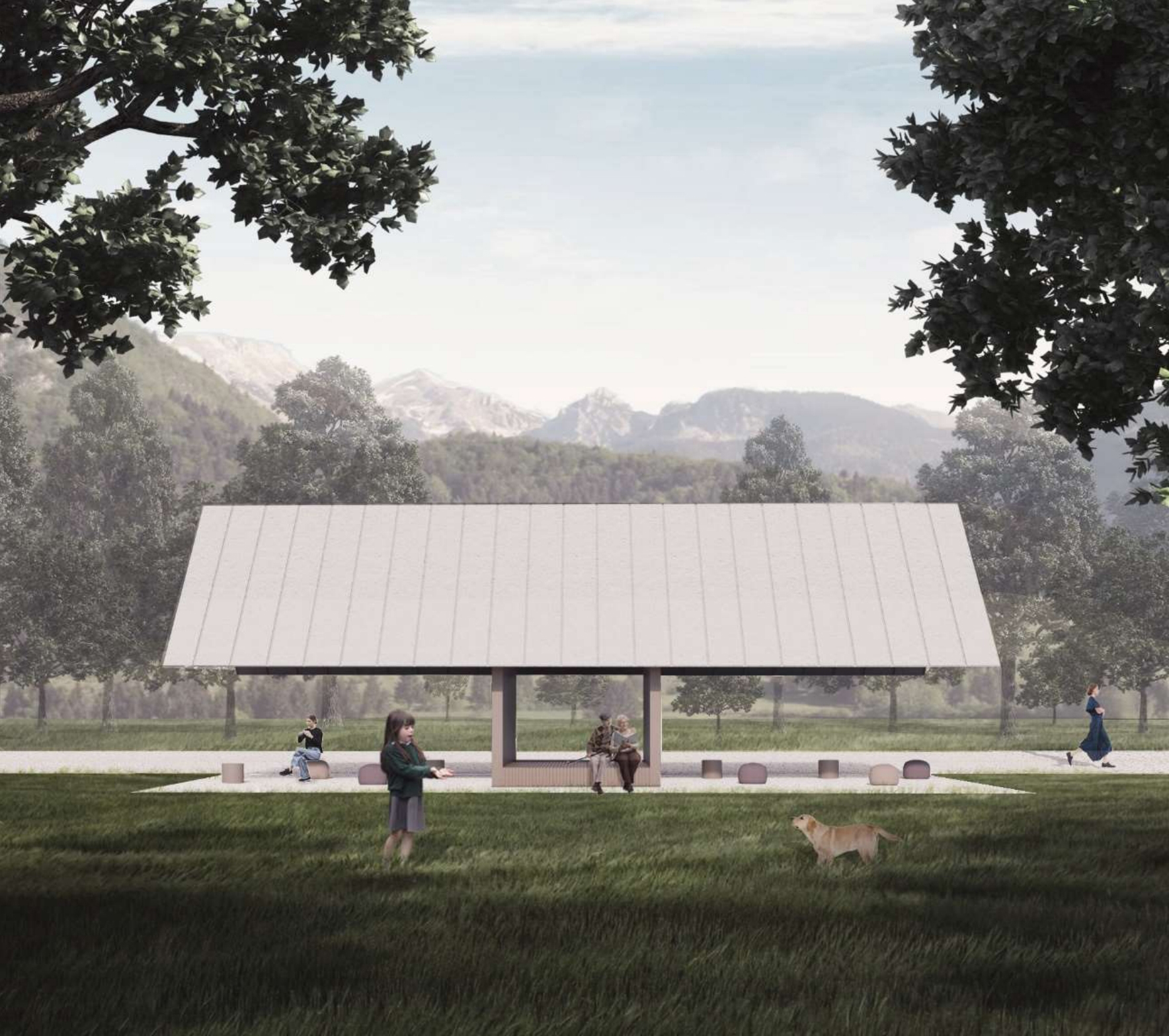
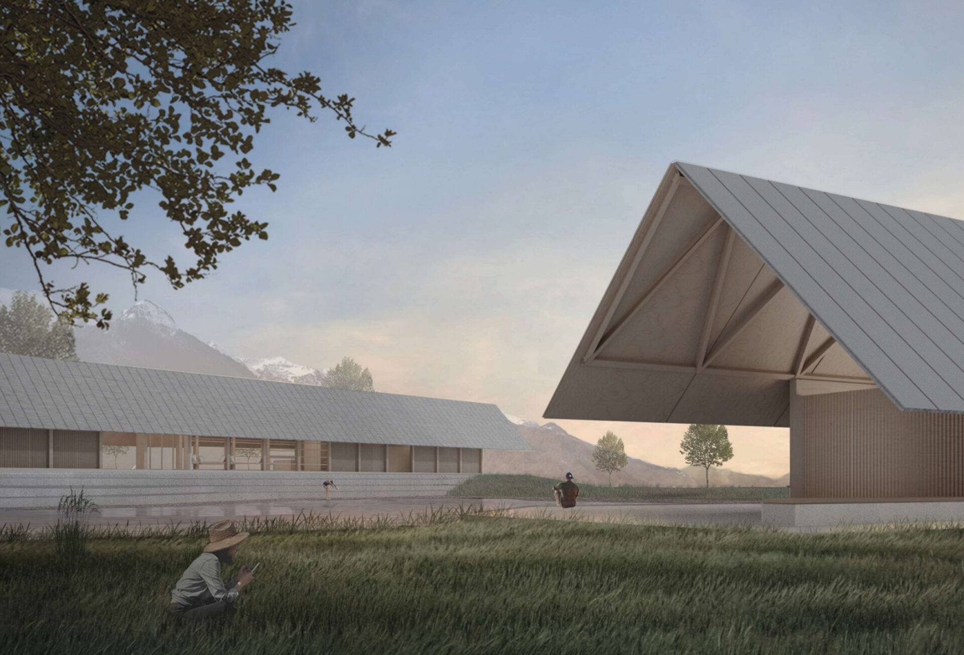
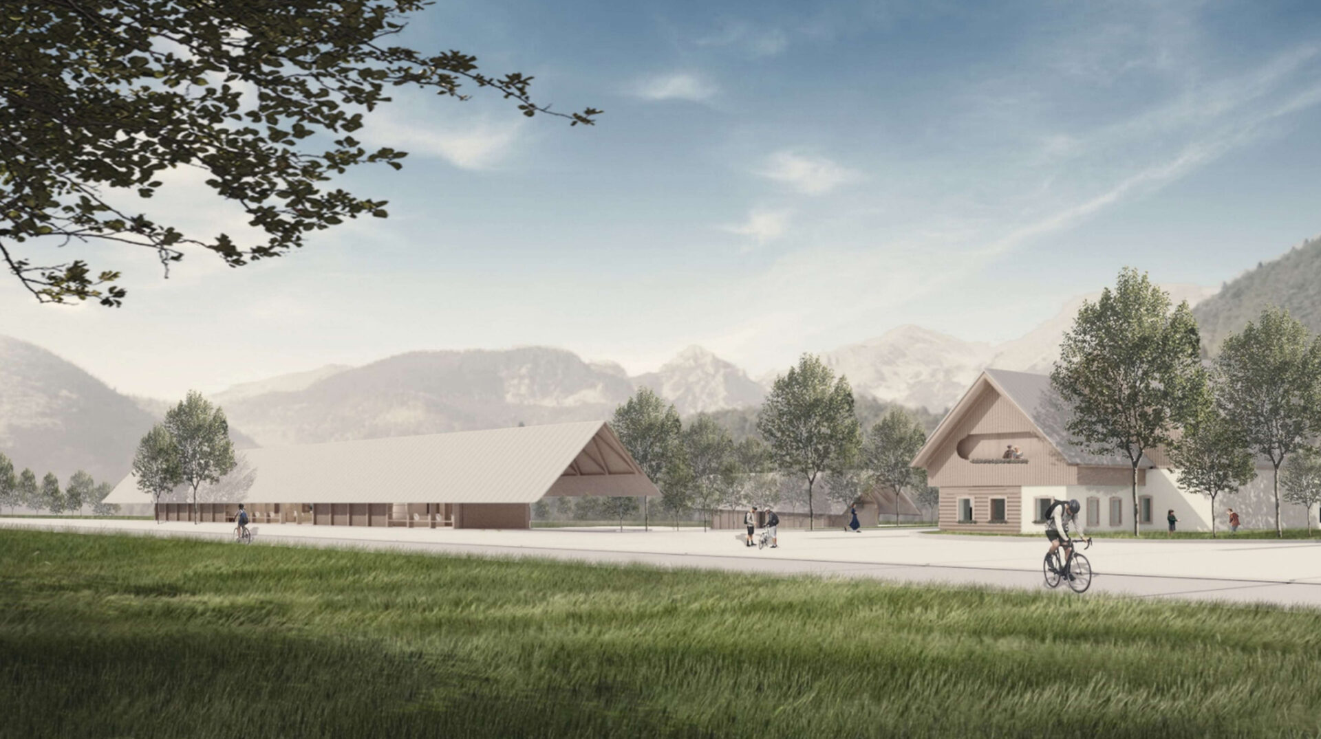
The OPPN area includes part of the Kampa Danica campsite area, including recreational and sports facilities in the eastern part and the riparian area at the confluence of the Sava and Bistrica stream. The objective of the plan is a comprehensive renovation of the area with an emphasis on raising the quality of tourist services, which includes the reconstruction of existing facilities, construction of some new buildings (such as glamping cabins, new sanitary and service facilities), including the construction of a new public parking structure.
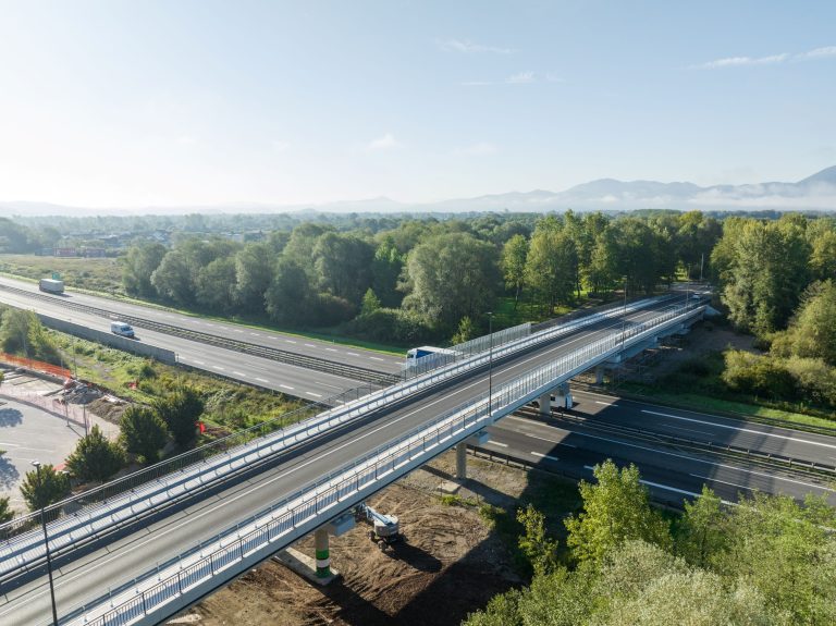
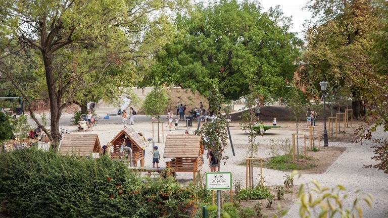
Authors of the urban and architectural design photographs in the gallery: VOID arhitektura, projektiranje d.o.o..