Geoinformatics
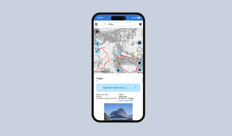
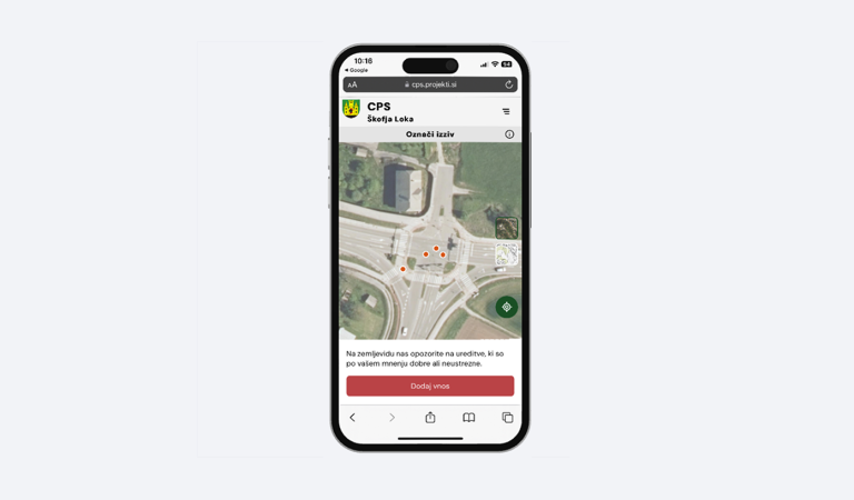
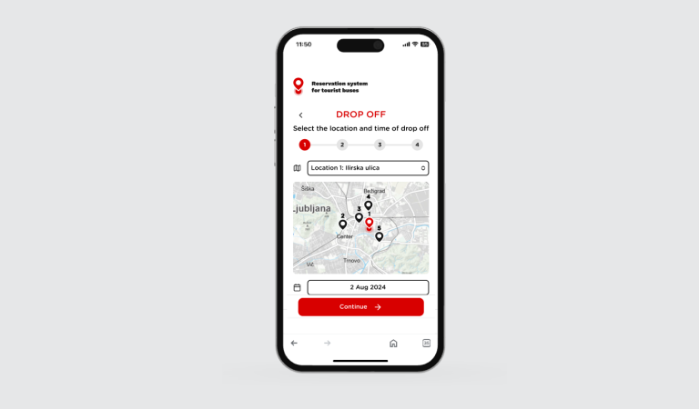
We establish and manage GEOGRAPHIC INFORMATION SYSTEMS (GIS) and integrate spatial data from various sources. We process, analyse, and present the data in a clear format so it becomes a useful basis for planning, infrastructure management, and decision-making.
Our tasks:
Establishing and managing of GIS systems
Collecting, integrating, and processing spatial data
Spatial analyses and cartographic presentations
Support in planning and infrastructure management