Karavanke Plateau Arrangement
In August 2021, the Government of the Republic of Slovenia adopted a Decree on the implementation of national spatial planning for the arrangement of the Karavanke plateau, which served as an entry and exit point for transit and transport traffic before Slovenia entered the Schengen Area.
For the purpose of preparing the National Spatial Plan (DPN) and the Implementation Project (PZI), a geodetic survey of the entire Karavanke plateau, covering a total area of 15 ha, was carried out. Within the intervention area, a geodetic network of 33 points was established and stabilized, achieving positional and altitudinal accuracy of 1 cm. The DPN, as part of its amendments, also foresees additions and demolitions of certain structures, which necessitated a detailed measurement of all structures on the plateau.
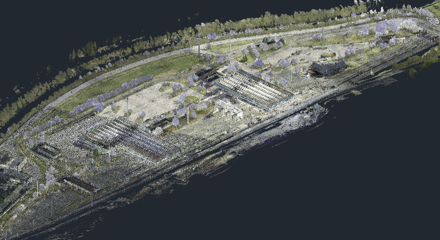
Due to the size and complexity of the area and the volume of traffic, measurements were carried out using a Leica RTC 360 terrestrial laser scanner, while traffic flowed smoothly without any road closures. 405 colored scans were captured in the field, which were subsequently merged into a single continuous colored georeferenced point cloud totaling over 10 billion RGB points, which was reduced before being exported to the appropriate format. The geodetic plan was created from the point cloud in AutoCad using a proprietary plugin for geodetic plan production.
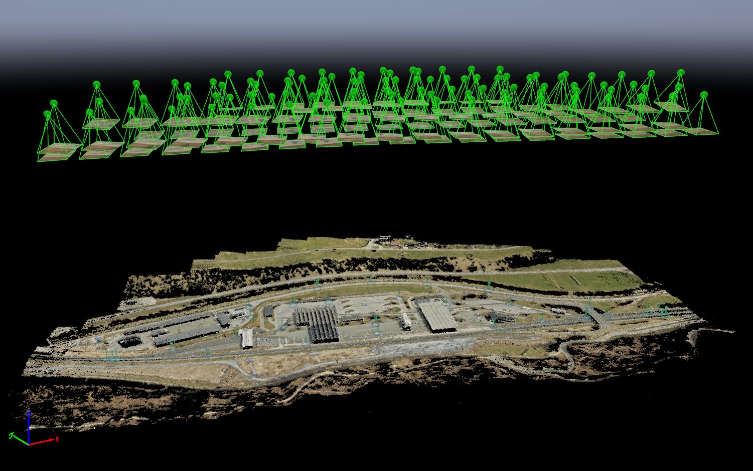
To facilitate spatial visualization and the placement of structures in space, an orthophoto of the wider Karavanke plateau area was produced. 98 high-resolution aerial photographs were captured using an ultralight aircraft, from which an orthophoto with a spatial resolution of 3 cm/px was created using PIX4D software. In addition to the orthophoto, a colored georeferenced point cloud of the wider area was also produced, which was used to supplement the geodetic plan outside the area boundaries.