Reconstruction of the Ivančna Gorica-Bič-Trebnje Highway Section
The A2 motorway is an important link between the north-western and south-eastern parts of Slovenia, and with the neighbouring countries of Austria and Croatia. Construction on the Ivančna Gorica–Bič–Trebnje section was completed in 2004 and has not been significantly upgraded since.
Read more: Reconstruction of the Ivančna Gorica-Bič-Trebnje Highway SectionIn 2020, to ensure adequate road safety, DARS carried out a public tender for the rehabilitation of parts of the A2 motorway. For the preparation of the detailed design documentation (PZI) for the reconstruction of the A2 motorway section AC A2 0022 and 0622 Grosuplje–Ivančna Gorica, 0410 Ivančna Gorica interchange, 0023 and 0623 Ivančna Gorica–Bič, 0411 Bič interchange, and 0072 and 0672 Bič–Trebnje East, a geodetic plan was produced for a total length of 14 km. Across the entire section, a geodetic network of 227 points was established and stabilised, with horizontal and vertical accuracy of 1 cm. The elevations of the stabilised ground points were determined by precise levelling.
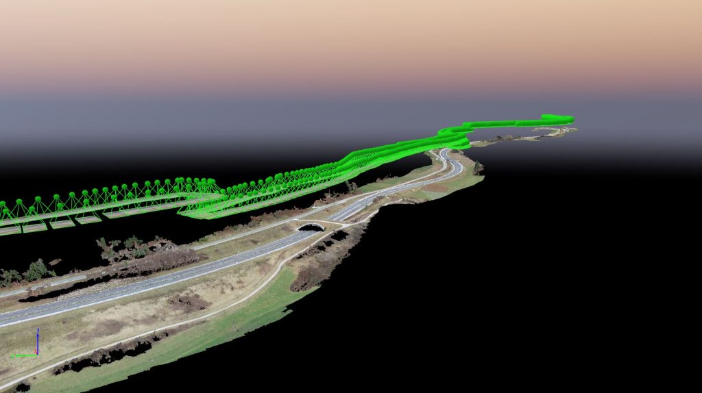
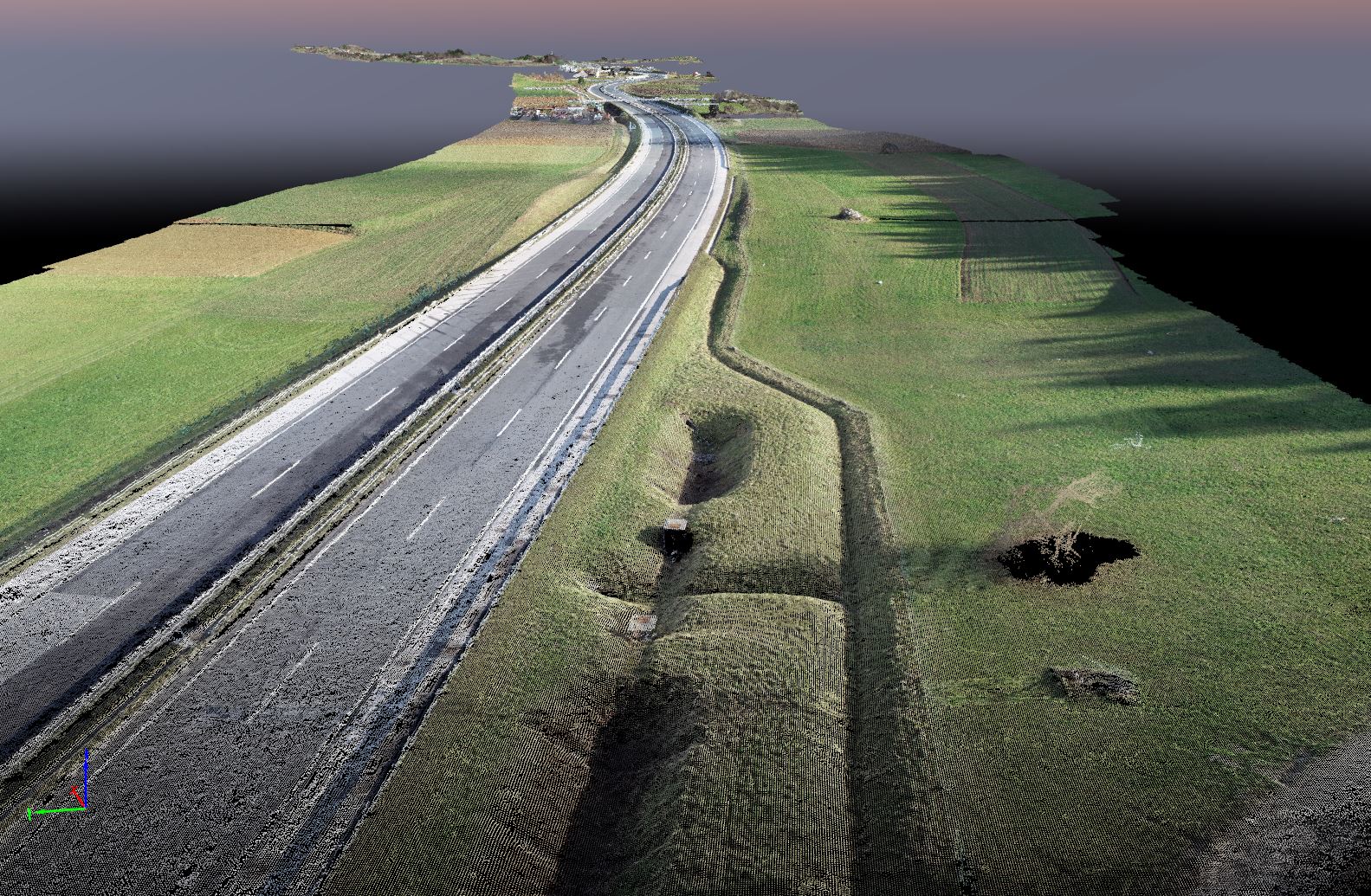
The geodetic plan was produced in AutoCAD using our own plug-in for creating geodetic plans. A terrain model (surface) was generated from the geodetic plan and delivered to the client in the appropriate format. In addition to conventional terrestrial surveying, spatial data capture using an unmanned aerial vehicle (drone) was carried out for detail acquisition. In addition to the standard geodetic plan, a coloured 3D point cloud was generated from 2,983 high-resolution images, with a total size of more than 322 million points, as well as an orthophoto of the entire section with a ground resolution of 2.1 cm/px. Image processing was performed using the renowned Swiss photogrammetric image-matching software PIX4D. For georeferencing the raster aerial photographs, 105 ground control points measured by conventional terrestrial surveying during the capture of detail points were used, bringing the positional accuracy of the orthophoto close to that of the geodetic plan.